Surveying & data capture
Plan field data collection using suitable surveying and mapping equipment. Work with LiDAR, RTK, mobile mapping and other methods according to the accuracy and coverage required.
 ARTANIS CLOUD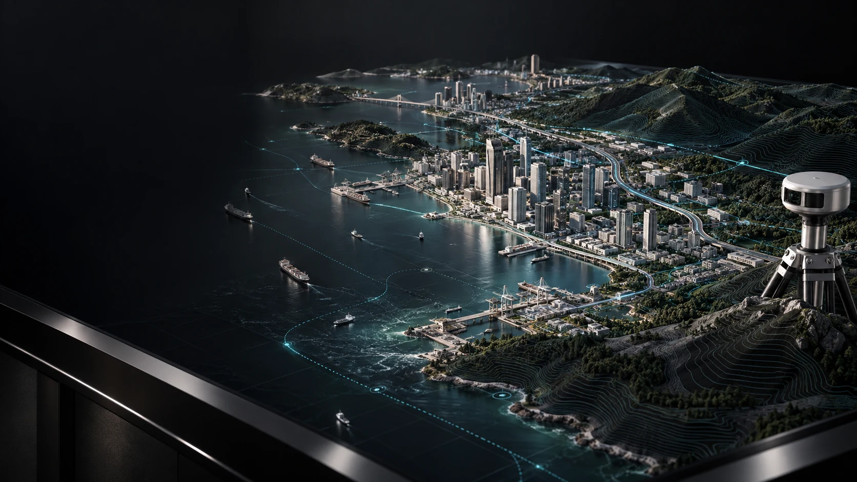
Turn location data into a clearer view of assets, terrain and operations.
Connect field observations, mapping and spatial analysis to the decisions your organisation makes. From asset inventories to 3D models, geospatial information helps teams understand what is happening and where action is needed.
Plan field data collection using suitable surveying and mapping equipment. Work with LiDAR, RTK, mobile mapping and other methods according to the accuracy and coverage required.
Locate and organise infrastructure, utilities and points of interest. Build a consistent spatial inventory that supports maintenance, planning and coordination.
Combine location data with operational information to assess patterns, constraints and priorities. Support environmental monitoring, public services and infrastructure planning.
Develop spatial models that help teams explore a site or system in context. Connect geospatial layers and relevant data to support planning, simulation and operational awareness.
Start with the use case. Assess the environment and integration needs, define the scope, then plan implementation, testing and support around your priorities.
Tell us about your goals, environment and requirements. We’ll help define the next step.